 N環球

Dubai launches Dubai Atlas, a 10-chapter record of the emirate's transformation and future
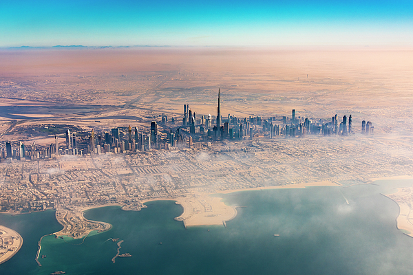
Dubai Municipality has launched the Dubai Atlas, documenting the emirate's urban transformation and looking ahead to its future development, using maps, aerial and satellite imagery and historical data; the launch marked the GIS Centre's 25th anniversary and World GIS Day.
Dubai Municipality launched the Dubai Atlas on November 19, documenting the emirate's urban transformation and looking ahead to its future development, using maps, aerial and satellite imagery and historical data.
Ten chapters cover population, transport and environment
The atlas has ten chapters covering geospatial information, population, road and transport networks, the environment, cultural heritage, religious landmarks, education, healthcare, community facilities and historical maps. The launch coincided with the 25th anniversary of the municipality's Geographic Information Systems (GIS) Centre and World GIS Day, under the theme "25 Years: From the First Map to the City of the Future".
Maryam Al Muhairi, CEO of the Buildings Regulation and Permits Agency at Dubai Municipality, addressed the launch; the municipality also signed a memorandum of understanding with Mansions Intellecta Technologies LLC to explore digital twin technology for urban planning. (Sources: Dubai Municipality release via WAM; GoDubai; UAE Vartha)
(Photo: Dubai skyline, file photo.)
💬 Comments
No comments yet. Be the first!