 N環球
N環球 
Hurricane Simon Nears Mexico's Pacific Coast as 155-mph Category 4 Storm, Landfall Expected Sunday
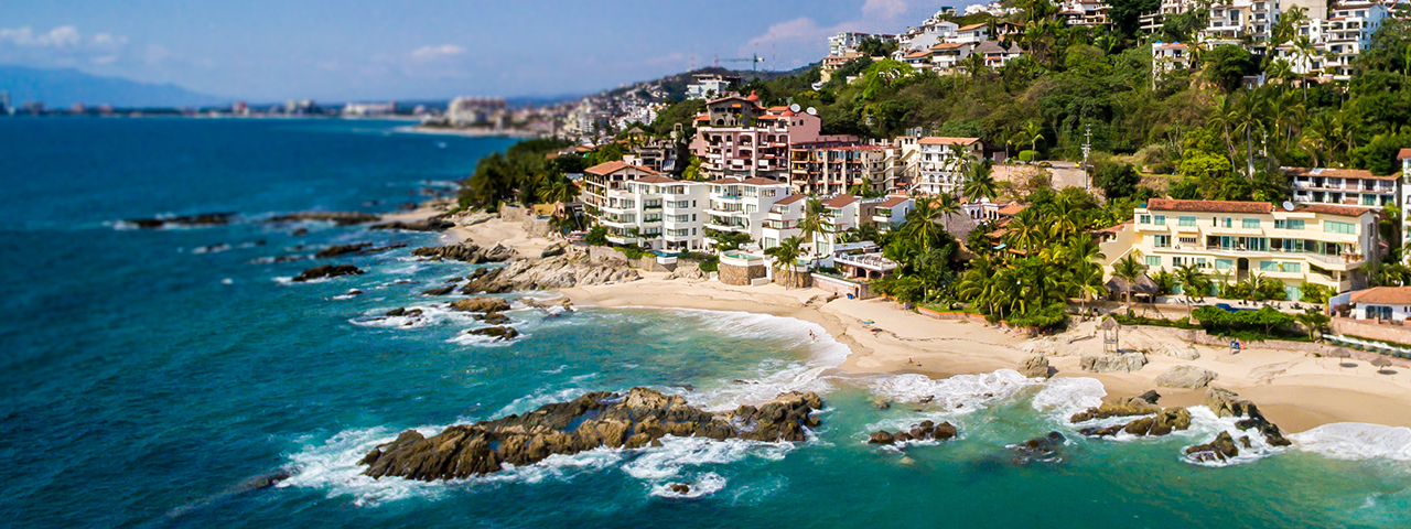
The National Hurricane Center says Hurricane Simon strengthened to a high-end Category 4 late Saturday with 155-mph winds, expected to approach or move inland over west-central Mexico on Sunday; Jalisco suspended classes in 22 coastal municipalities and began evacuations.
Why it matters
Hurricane Simon intensified from 105 mph to 155 mph in just over 30 hours, becoming a high-end Category 4 storm aimed at Mexico's Pacific coast. Coming days after Hurricane Isaias battered the U.S. Gulf Coast, it puts port cities like Manzanillo and the Puerto Vallarta tourist zone in the danger area.
Full report
In its 9 p.m. Central advisory Saturday, the U.S. National Hurricane Center (NHC) reported maximum sustained winds of 155 mph (250 km/h) and a minimum central pressure of 928 millibars. The center was about 65 miles south-southwest of Manzanillo, moving north at about 5 mph.
A hurricane warning covers the coast from Punta San Telmo to El Roblito, including Las Islas Marías. The NHC expects the center near or just inland over west-central Mexico on Sunday and urged residents in the warning area to finish preparations before conditions turn dangerous overnight.
Rainfall is a major threat: 10 to 20 inches forecast across parts of Michoacán, Colima, Jalisco and Nayarit, with isolated totals up to 30 inches, raising the risk of life-threatening flash flooding and mudslides in steep terrain. Dangerous storm surge and large destructive waves are expected near and east of the landfall point.
The Associated Press reports Jalisco suspended classes Friday and Monday in 22 coastal municipalities and began moving people out of vulnerable areas; in Puerto Vallarta, businesses boarded windows and stacked sandbags while hotels were told to ready shelters. Manzanillo, Mexico's largest Pacific port, sits squarely in the threatened zone.
💬 Comments
No comments yet. Be the first!