 N環球

Atmospheric river bears down on Southern California; flood watch for Los Angeles
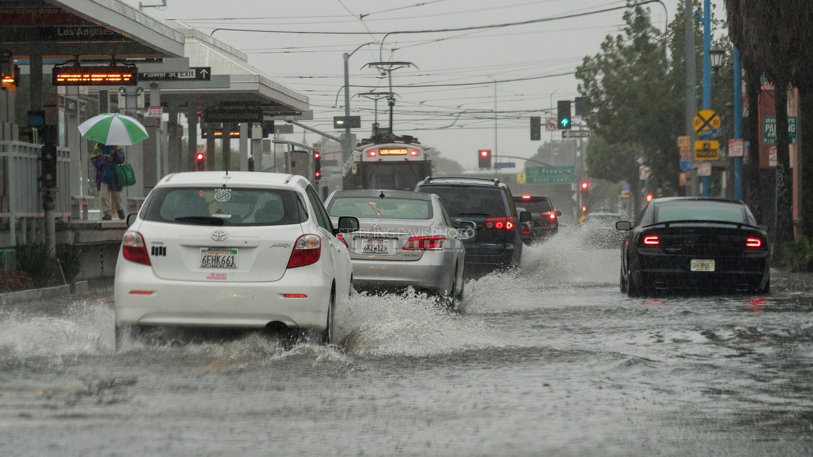
The season's first significant atmospheric river storm reaches Southern California late Wednesday, and the National Weather Service has issued a flood watch for most of Los Angeles County from Thursday morning through Thursday afternoon. Most areas can expect 1 to 3 inches of rain, with up to 5 inches possible in the foothills, along with mountain snow and coastal flooding risks.
A powerful storm is expected to reach Southern California late Wednesday evening, bringing heavy rain, strong winds, possible flooding and mountain snow. The National Weather Service called it the season's first storm with truly widespread moderate to heavy rain, saying "this storm is packing quite a punch." Rain is expected to hold off in Los Angeles County until 10 p.m. or later, with the heaviest rainfall falling Thursday morning and early afternoon.
Flood watch covers most of Los Angeles County
The weather service has issued a Flood Watch for most of Los Angeles County from Thursday morning through Thursday afternoon, covering downtown Los Angeles, coastal communities, the Santa Clarita and San Gabriel valleys, the San Fernando Valley, the Santa Monica and San Gabriel mountains, the Interstate 5 corridor and the Palos Verdes Hills. Most areas can expect 1 to 3 inches of rain, with isolated totals of up to 5 inches possible on south-facing foothills and mountains; widespread rain rates of about a half-inch per hour are expected, with localized rates of 0.75 to 1 inch per hour. The Weather Prediction Center places the Los Angeles metro area under a Level 2 of 4 risk of flooding rain on Thursday, with at least a 15% chance of excessive rainfall.
Mountain snow and coastal surf
Snow levels are expected to remain above 9,000 feet for much of the storm before dropping to about 7,000 feet behind the front, with 3 to 8 inches of snow possible at higher elevations. Along the coast, minor to moderate coastal flooding could occur around Thursday morning's high tide, with seawater potentially covering low-lying beaches, walkways and parking lots; large surf and dangerous rip currents will continue. There is also a risk of debris flows near recent wildfire burn scars, and the weather service warned drivers to watch for rockslides and standing water on canyon roads.
(File photo: street flooding in Los Angeles during a past rainstorm.)
💬 Comments
No comments yet. Be the first!