 N環球

São Paulo metro Line 22 advances as state declares land in six districts for expropriation
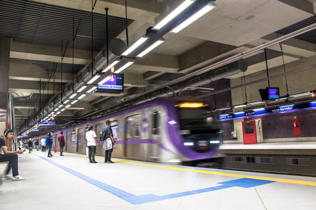
São Paulo state published a resolution declaring properties in six city districts for public use, clearing a legal step for the future metro Line 22-Brown; the declaration does not mean immediate expropriation or eviction.
The São Paulo state government published a resolution in the official gazette on October 26 declaring properties in six districts of the capital for public use, clearing a legal step for the future metro Line 22-Brown. The declaration does not mean immediate expropriation, nor that residents must leave right away.
What the resolution covers
Resolution SPI nº 103, signed on October 15 by the State Secretariat for Investment Partnerships, covers nine sets of technical plans in Perdizes, Jardim Paulista, Pinheiros, Butantã, Rio Pequeno and Raposo Tavares, including land for stations, support facilities and a yard. It authorises the São Paulo Metro company to pursue friendly or court-ordered expropriation, temporary occupation and easements, and to seek urgency in court proceedings. The largest single plot, near the Raposo Tavares highway, measures about 395,432 square metres (about 39.5 hectares). Expropriation costs will come from the Metro company's budget, and properties belonging to public-law entities are excluded.
What Line 22-Brown will be
The line will run about 29 kilometres with 19 stations and is projected to carry around 650,000 passengers a day, with a trip of about 42 minutes between Cotia and the capital. It will start at Sumaré station, where it meets Line 2-Green, and run through Pinheiros, Butantã, Rio Pequeno and Raposo Tavares to Osasco and Cotia, with connections to Line 4-Yellow in the Faria Lima area and Line 9-Emerald at Hebraica-Rebouças station, plus a future link to Line 20-Pink. Ten stations will be in the capital, two in Osasco and seven in Cotia; public hearings are scheduled for December.
What it means for residents
Declaring land for public use is one legal step, not an immediate takeover of every listed plot. The publication sets no individual eviction dates, compensation amounts or demolition timetable, and a neighbouring property cited as a boundary reference is not necessarily fully included. Each case must be checked against the official plans and property records.
💬 Comments
No comments yet. Be the first!