 N環球
N環球 
Nolo Becomes a Typhoon After Crossing the International Dateline in the Pacific
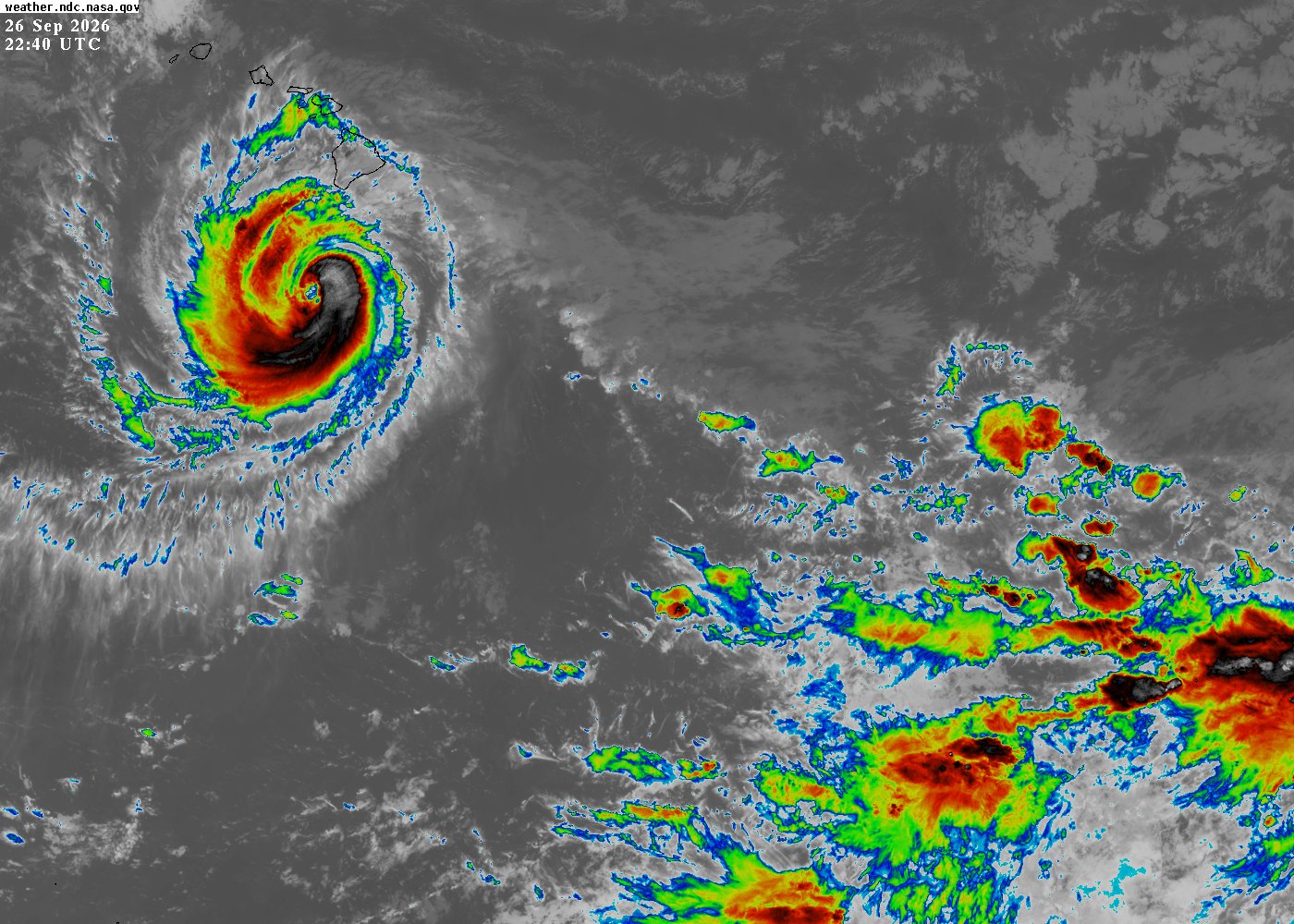
Hurricane Nolo crossed the International Date Line on Sunday, handing forecasting to Japan's meteorological agency and becoming Typhoon Nolo at Category 3, with no land in its path.
Why it matters
Former Hurricane Nolo crossed the International Date Line on Sunday (Oct. 4), transferring forecasting from the U.S. National Hurricane Center (NHC) to the Japan Meteorological Agency. Under naming rules, a "hurricane" becomes a "typhoon" with no change in strength — maximum sustained winds of 115 mph (185 km/h), Category 3.
Full report
The NHC's final advisory placed the storm about 395 miles (640 km) west-southwest of Lisianski Island, moving west at 17 mph. NHC senior hurricane specialist John Cangialosi said the storm is far from any land, and no land threat is forecast through Friday — "good news" it won't approach any land.
Nolo brushed Hawaii a week earlier, weakened to a tropical storm, then re-strengthened to Category 3 on Friday (Oct. 3); at its peak (Sept. 28 southwest of Hawaii) winds reached 155 mph (250 km/h).
At 115 mph, a tropical storm warning was issued for the Papahānaumokuākea Marine National Monument (Maro Reef to Lisianski Island), with large swells possibly inundating low-lying atolls.
💬 Comments
No comments yet. Be the first!